HISTORY
After Missouri was surveyed originally in the early 1800’s, land surveying technology has undergone many changes. Wunderlich Surveying & Engineering Inc. has experienced and embraced those changes in technology. Global Position Systems (GPS) is a technology that nearly everyone is familiar with today. Wunderlich was the first land surveyor in Franklin County to use GPS to survey with. At Wunderlich Surveying & Engineering Inc. we strive to use the latest technology to provide the most accurate product for all of our clients.
- BOUNDARY SURVEY
- TOPOGRAPHIC SURVEY
- MIR / SRPR / SPOT SURVEY
- ALTA / ACSM SURVEY
- PLOT PLAN & STAKEOUT
- FLOOD ELEVATION CERTIFICATES
- RIGHT OF WAY LOCATION
- ESTATE PLANNING

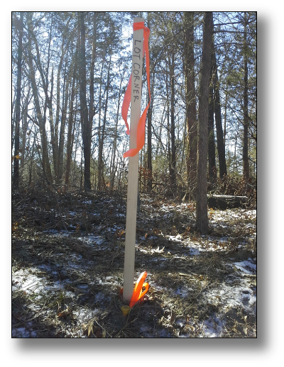
BOUNDARY SURVEY
A survey of the property boundary as recorded in the deed.
Importance: * A drawing is prepared showing improvements along the boundaries * Missing corner markers are replaced * Encroachments onto your property are precisely identified * Area of tract is determined
![]()
TOPOGRAPHIC SURVEY
A graphical representation of the physical features of the surface of the property. This survey depicts natural features such as streams, hills, and valleys, as well as man made features such as roads, buildings, and culverts and is usually completed in conjunction with a boundary survey.
Importance: * A drawing shows improvements, boundaries, and elevation contours on the property * It can be completed by field survey on the ground, or by aerial methods * It is needed for developing on property that varies in elevation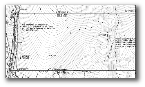
![]()
MIR / SRPR / SPOT SURVEY
Commonly called a Mortgage Inspection Report, Surveyors Real Property Report, or Spot. A simple survey that shows the location of improvements.
Importance: * Ensures that you are buying what you think you are buying * Gives you early notification of issues with the property before you go through with the purchase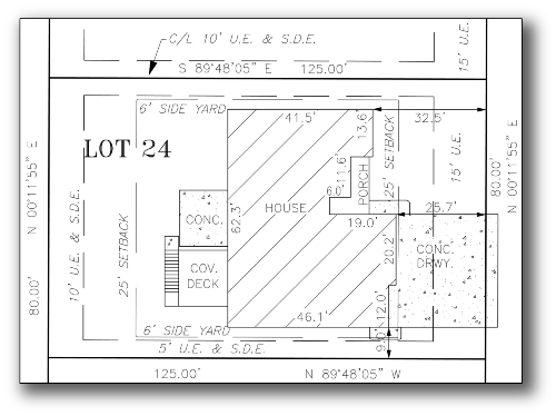
![]()
ALTA / ACSM SURVEY
American Land Title Association / American Congress on Surveying & Mapping. Detailed survey including all aspects of a boundary survey as well as improvements.
Importance: * Often required by lending institutions for commercial properties * Existing utilities on the property are identified *Reveals issues that could adversely affect the interest of the buyer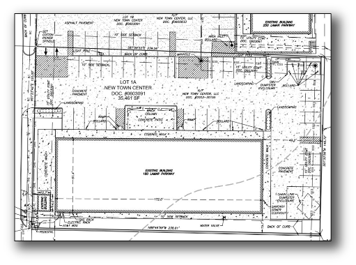
![]()
PLOT PLAN & STAKEOUT
Stakes are set in the field denoting the precise location of the proposed structure.
Importance: * A drawing is prepared showing the proposed structure as it will lie on the property * Ensures the proposed structure is built within the setback limits of the property without crossing any easements * Allows you to see your proposed structure on the property before it is built * Resolves construction location conflicts before construction begins